How would you describe Tucson's climate? Hot and dry? You're basically conveying information about temperature and precipitation. Here we'll just concern ourselves with temperature. It does get pretty hot in Tucson in the summer. But it doesn't stay hot all year. With just two numbers, the annual mean or annual average temperature and the annual range of temperature you can give someone a pretty complete idea of the temperature in Tucson and how it changes during the year. More detailed statistics for Tucson are available at this Tucson climate data link.
There are three or four main factors that determine a region's annual mean and annual temperature range.

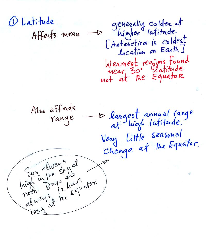
Latitude affects both the annual mean and the annual range of temperature. The polar regions have colder annual average temperatures than any other location on earth. Some of the other controls of temperature work together with high latitude to make Antarctica and the South Pole colder than the North Pole. The hottest regions on earth are found near 30 latitude, not at the Equator.
The annual range of temperature increases with increasing latitude. There is little or no seasonal change at the Equator.

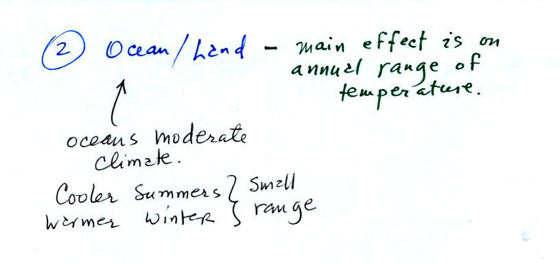
A region surrounded by land will have a much larger annual range of temperature than a region surrounded by or near a large body of water. Oceans are slow to warm during the summer and slow to cool during the winter. This is partly because water has a higher specific heat than soil. Some other factors come into play. The figure below tries to explain why soil and water warm at different rates during the summer

Water has a higher specific heat. Some of the incoming energy is used to evaporate rather than warm water. Incoming sunlight penetrates into a body of water and is used to try to warm a larger mass of water. These three factors mean that water will warm more slowly and won't get as hot during the summer as land. If you've ever been to the beach in the summer you probably remember that the sand on the beach gets much hotter during the day than the ocean water.
Here is a link to an Optional Assignment that you can download and print.

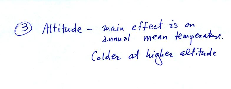
The table below summarizes the three controls of temperature that we have covered so far. One of them affects both the annual mean and annual range, one affects just the mean, and the other just the annual range.

One final factor:

Cities on the west coast and east coast of the US can have very different climates even if they are at the same latitude and altitude. A cold southward flowing ocean current is found along the West Coast. The warm Gulf Stream current flows northward along the East Coast. Winds at middle latitudes generally blow from west to east. The city on the West Coast will feel the full moderating effect of the ocean. The city on the East Coast will be affected by the Atlantic Ocean and also by winds blowing across the interior of the US.

A graphical summary. You find cold locations over land at high latitudes (Northern Canada, Siberia). Antarctica is the coldest region because it is found at high latitude, is a land mass, and much of Antarctica is high altitude. The hottest regions on earth are found in the middle of land masses near 30 latitude.
What kind of climate would you expect to find at Point X near the Equator in the middle of the Pacific Ocean? I'll try to answer that question in class. The answer to the question includes a short story (and you know I like stories) that features such things as carved wooden pigs, tropical island beverages, maybe a bit of romance (or lack of), and something called betelnut.