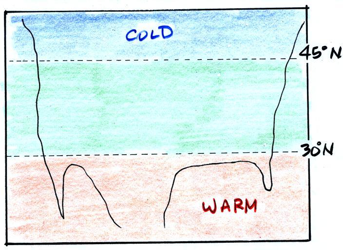
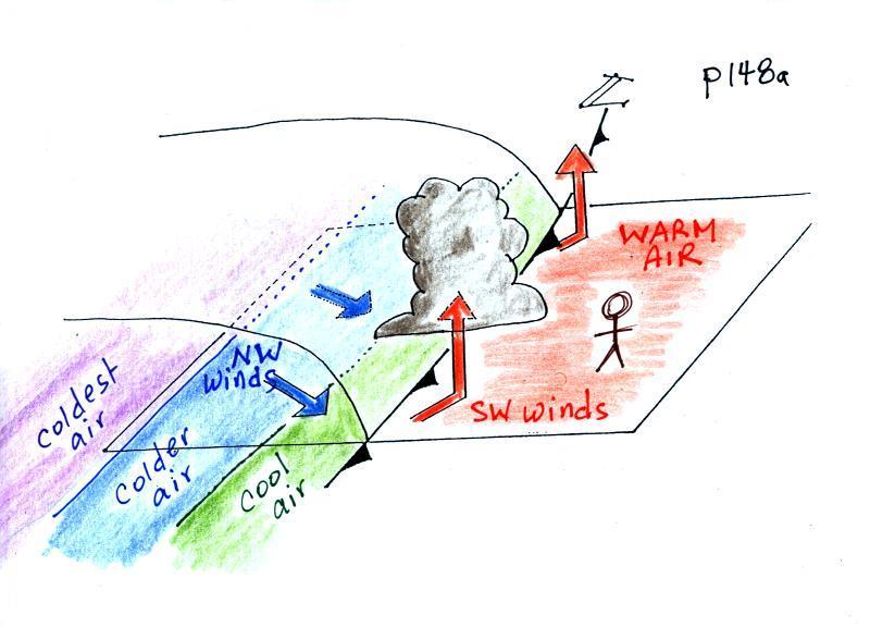
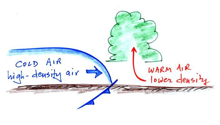
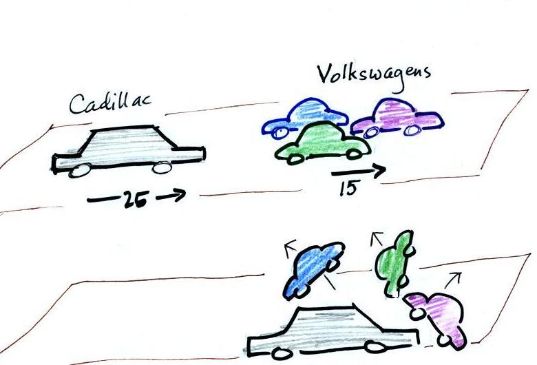
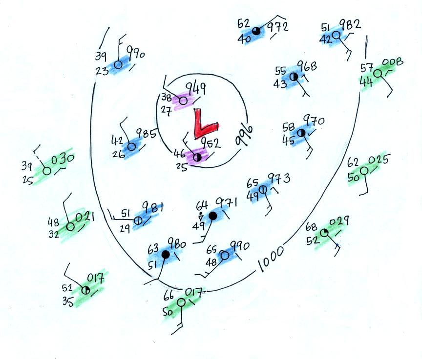
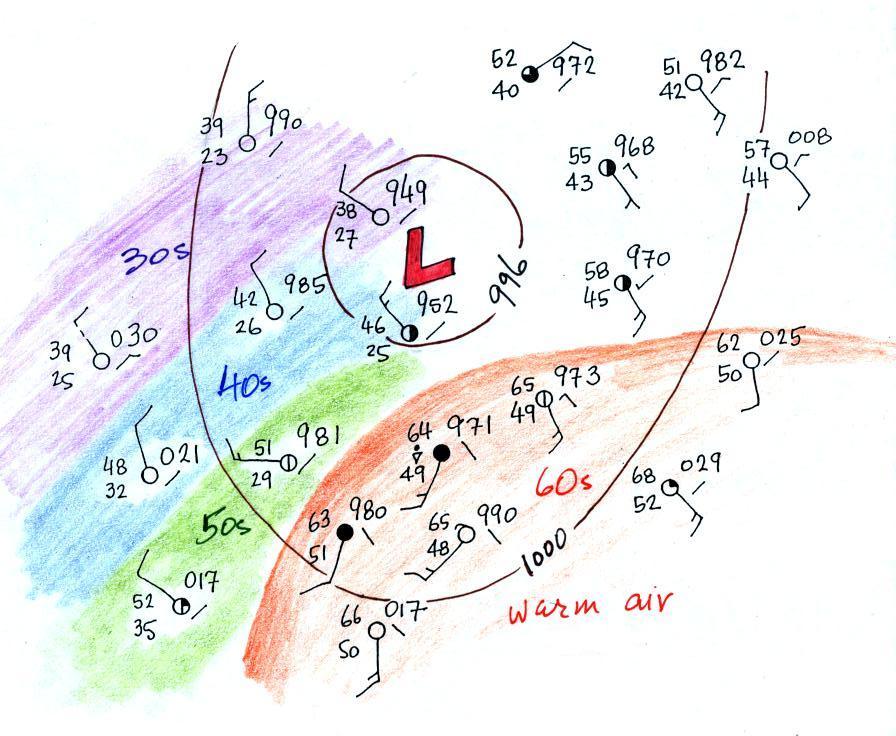
This picture gets a
little more interesting if you put centers of high or low
pressure in the middle.

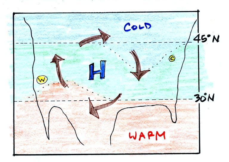
In the case of high pressure,
the clockwise spinning winds move warm air to the north on the
western side of the High. The front edge of this
northward moving air is shown with a dotted line (at Pt. W) in
the picture above. Cold air moves toward the south on
the eastern side of the High (another dotted line at Pt. C,
it's a little hard to distinguish between the blue and green
in the picture). The diverging winds also move the warm
and cold air away from the center of the High. Now you
would experience a change in temperature if you traveled from
west to east across the center of the picture.
The transition from warm to cold along the boundaries (Pts.
W and C) is spread out over a fairly long distance and is
gradual. This is because the winds around high pressure
diverge and blow outward away from the center of high
pressure. There is also some mixing of the different
temperature air along the boundaries.

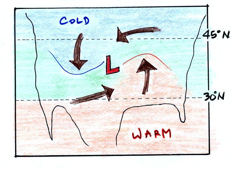
Counterclockwise winds move cold air toward the south on the
west side of the Low. Warm air advances toward the north
on the eastern side of the low. This is just the opposite
of what we saw with high pressure.
The converging winds in the case of low pressure will move
the air masses of different temperature in toward the center of
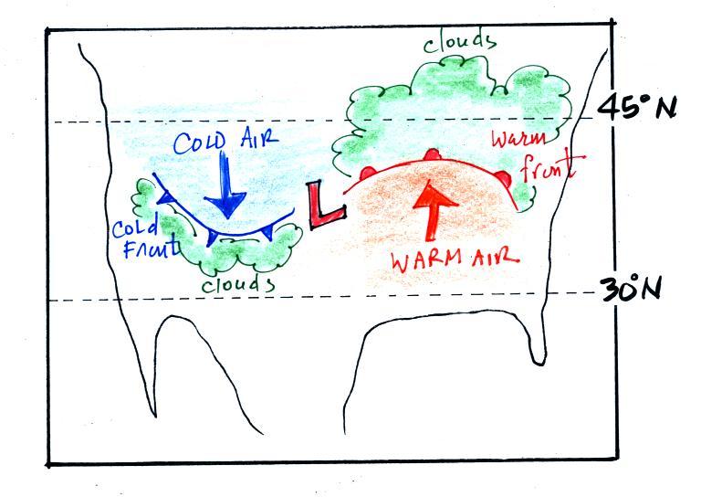
low pressure. The transition zone between different
temperature air gets squeezed and compressed. The change
from warm to cold occurs in a shorter distance and is sharper
and more distinct. Solid lines have been used to delineate
the boundaries above. These sharper and more abrupt boundaries
are called fronts (there are probably additional meteorological
processes that help to create fronts).
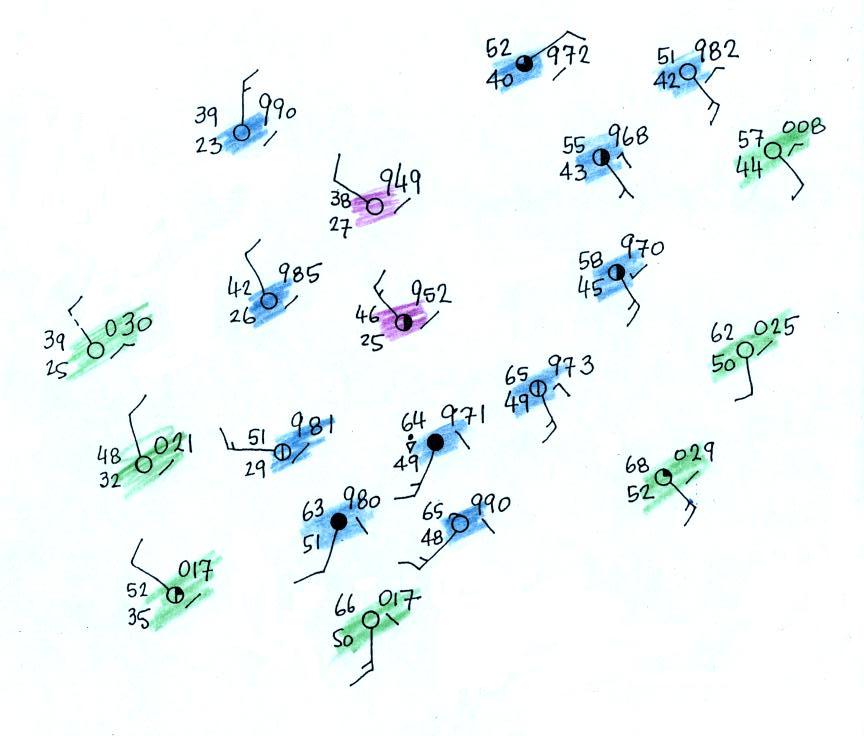
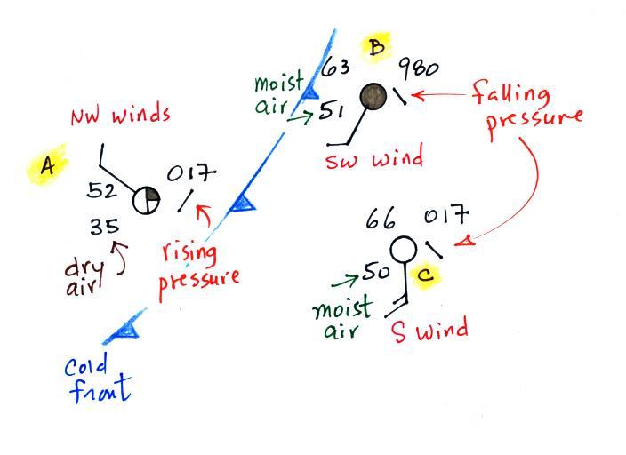
The air ahead of the front
(Pts. B & C) is warm, moist, has winds blowing from
the S or SW, and the pressure is falling. These are
all things you would expect to find ahead of a cold front.
Overcast skies are found at Pt. B. very near the
front.
The air behind the front at Pt. A is colder, drier, winds
are blowing from the NW, and the pressure is rising.
That is just what you would expect behind a cold
front. So our location of the front looks pretty
good.
This is as far as we got today. We'll have a look at
the 3-D structure of warm fronts on Monday and locate a warm
front on a surface weather map
